23 stories in Drones & imaging.
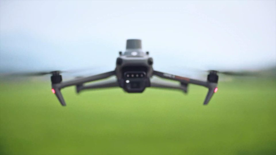
DJI’s November 2022 Mavic 3 Multispectral launch combined a conventional camera, four spectral bands and RTK positioning in a compact aircraft intended for crop scouting and precision-agriculture surveys.
Source DJI
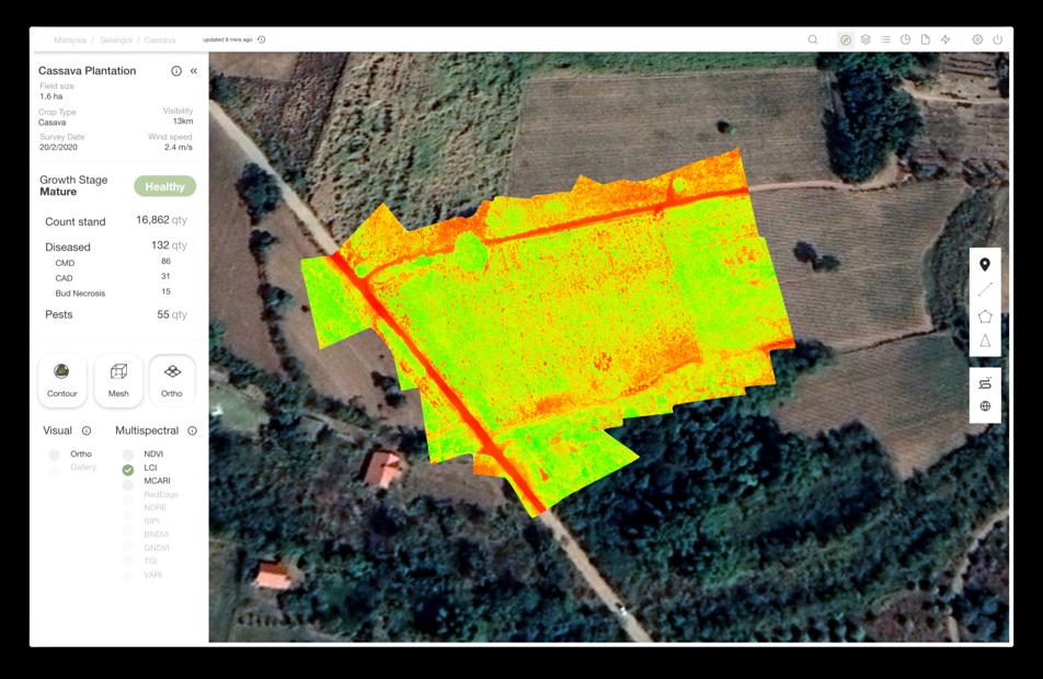
An AWS announcement in November 2023 described how Aerodyne’s DRONOS and Agrimor platforms linked aerial data, crop assessment and application services for farms in Malaysia and Indonesia.
Source Amazon Web Services
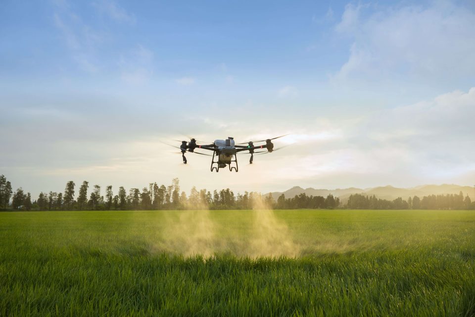
DJI launched the Agras T50 and T25 internationally in April 2024, pairing different payload classes with an updated SmartFarm application for managing crop-protection missions and operational records.
Source DJI
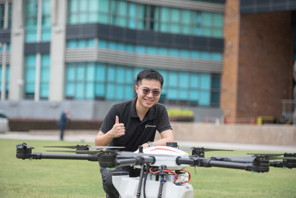
Malaysia’s Poladrone announced a US$4.29 million seed round in October 2021, linking drone development with service centres, spare parts and training for agricultural customers across the region.
Source Poladrone via PR Newswire
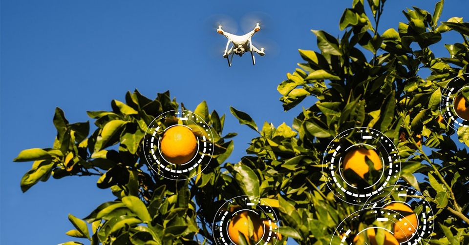
Aerobotics announced a $17 million Series B in January 2021, backing further technology development and international delivery of agricultural intelligence tools from a company founded in Cape Town, South Africa.
Source Aerobotics
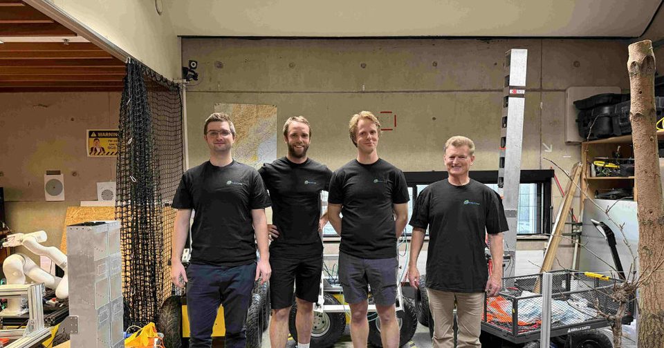
The University of Canterbury reported camera-based reconstruction of orchard and vineyard plants in July 2026, with testing across commercial farms and a planned HoloCrop spinout for precision horticulture.
Source University of Canterbury
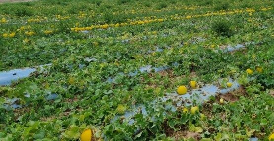
A FAPESP report published in February 2025 describes machine-learning detection of plastic-covered agricultural land, creating evidence that could support collection and recycling plans for used farm plastics.
Source Agência FAPESP
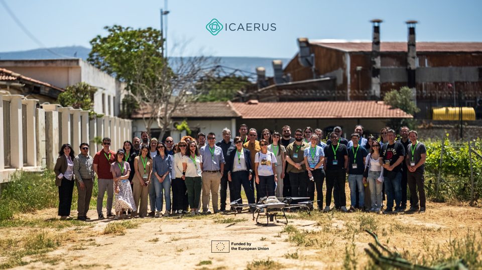
The Horizon Europe consortium reported results from agricultural, forestry and rural drone use cases, combining demonstrations with assessments of environmental impact, economics, skills and the practical constraints of deployment.
Source ICAERUS / Agricultural University of Athens
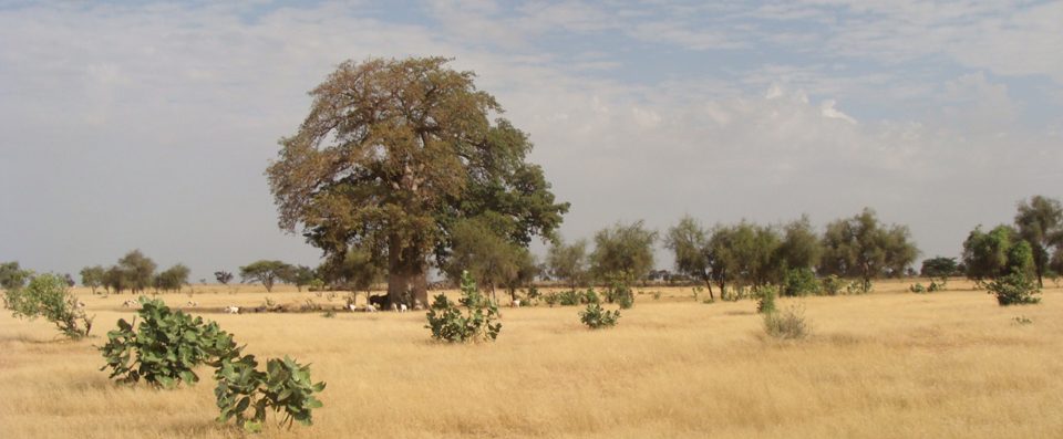
The CaSSECs collaboration examined drones as an intermediate observation scale between ground measurements and Sentinel-2 imagery, seeking better estimates of dry forage biomass across heterogeneous Senegalese landscapes.
Source CIRAD
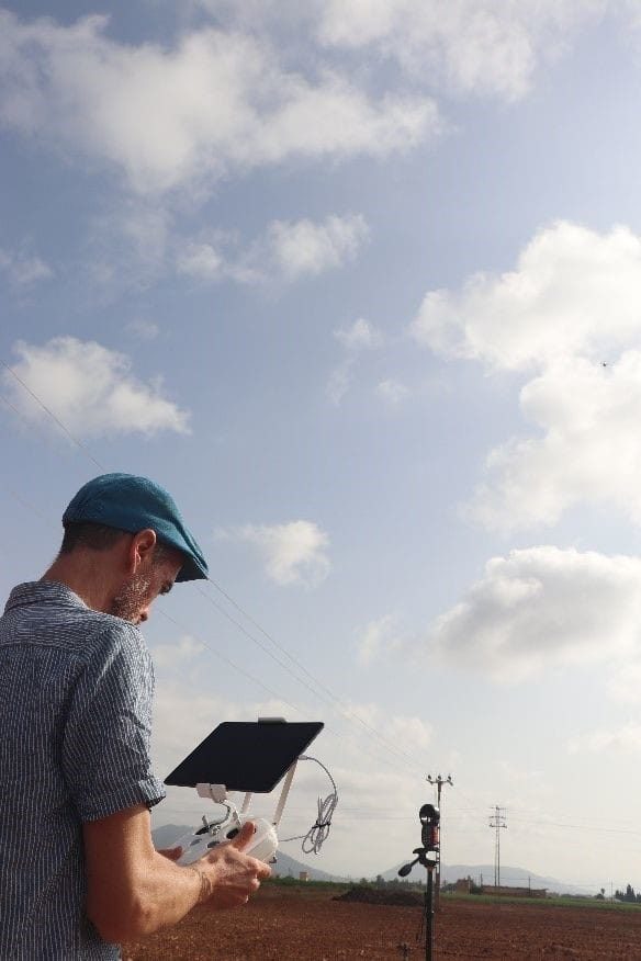
The European drone project reported an initial flight in Spain focused on equipment familiarisation and checking image outputs, laying groundwork for subsequent crop monitoring rather than claiming validated disease-detection performance.
Source SPADE project
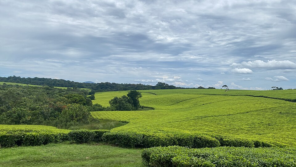
NbS4Tea introduced drone operations at Uganda’s Rwebitaba Tea Research Centre as part of a wider programme on resilient tea production and irrigation.
Source Makerere University
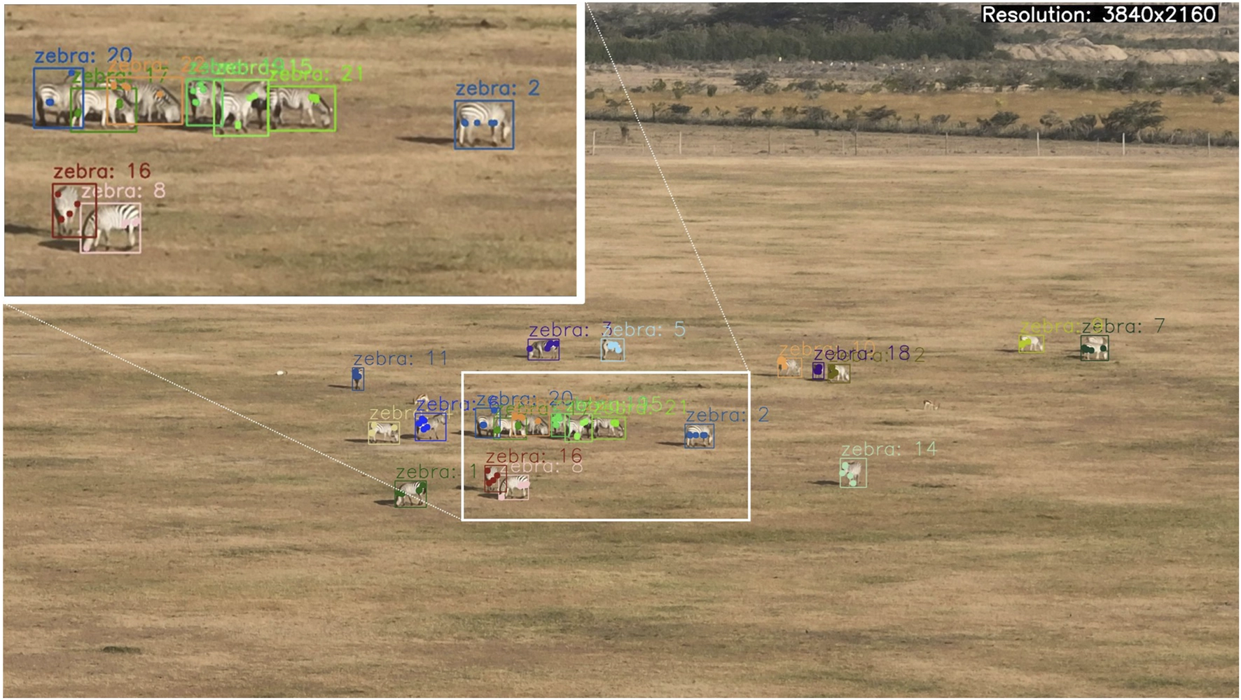
A new research paper sets out WildDrone’s drone, ecology and computer-vision programme, including wildlife monitoring at Kenya’s Ol Pejeta Conservancy.
Source Frontiers in Robotics and AI