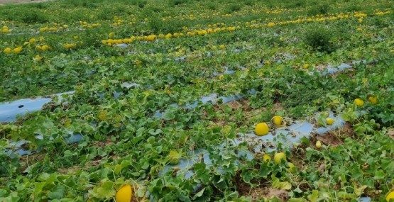
Researchers at Brazil’s Plasticulture Engineering Center developed a satellite-based method for identifying farmland that uses agricultural plastics. Reported by Agência FAPESP in February 2025, the work combines time-series imagery with machine learning and was demonstrated through a tomato-crop case study.
The report describes very high classification accuracy within the study and explains why locating plastic mulch matters: disposal information is fragmented, and collection can be uneconomic for small or remote producers. Maps can help assess possible recycling hubs or transport arrangements. The research team was mapping use rather than collecting the waste itself. The reported accuracy should be understood in the context of the evaluated dataset, not as a guarantee for every region, crop or plastic type.