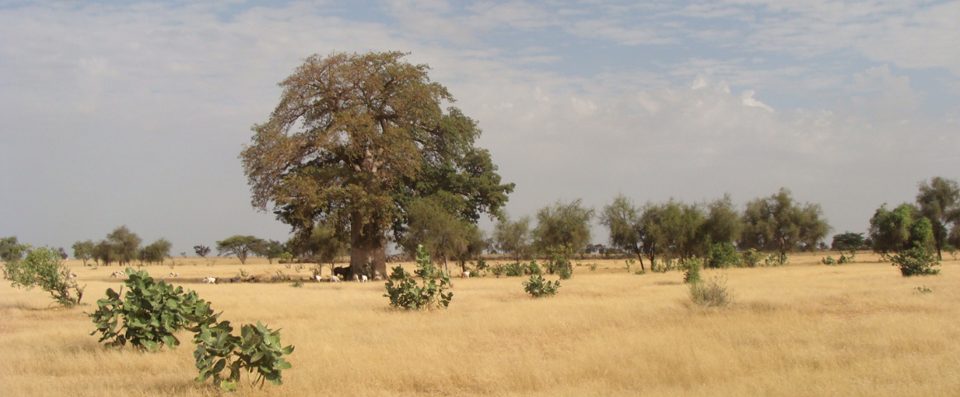
In March 2024, CIRAD highlighted CaSSECs research on estimating dry forage biomass in Senegal. The work linked field sampling with drone observations and freely available Sentinel-2 satellite imagery, addressing the difficulty of representing varied Sahelian grazing landscapes with limited ground measurements.
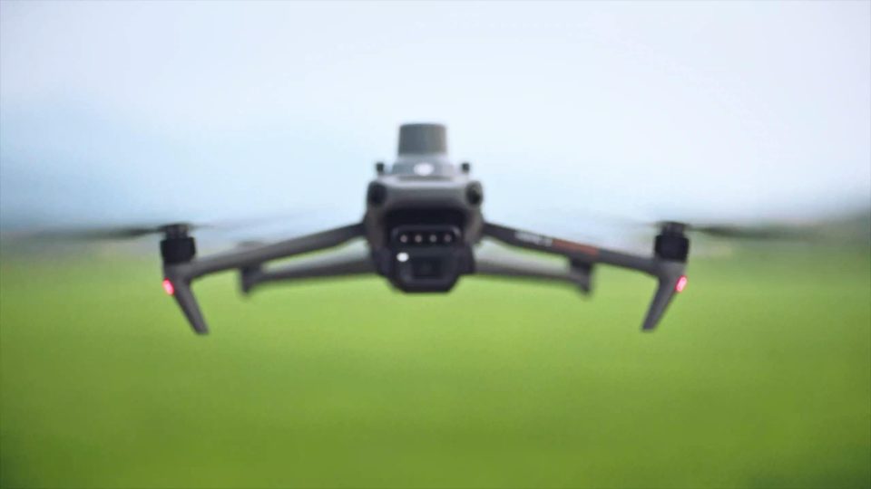
Drones provided coverage at a scale of a few hectares, between individual samples and satellite mapping. That intermediate information helped researchers examine local variability before scaling estimates to larger areas. The cited study involved researchers from CIRAD, Senegal’s Centre de Suivi Écologique, Lund University, the University of Copenhagen and Institut Agro Montpellier. The announcement presented a research method and its potential for wider biomass assessment; it did not announce a finished commercial drone service or a replacement for calibration measurements on the ground.