11 stories matching “Sentinel”.
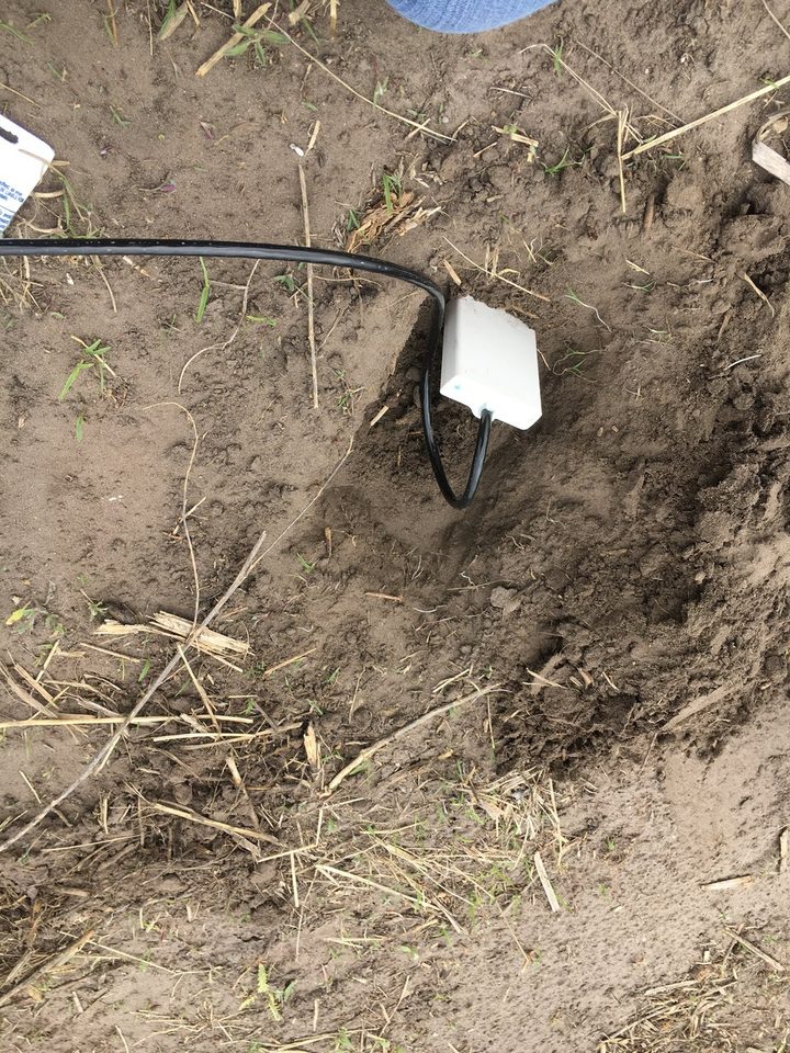
Brazilian researchers compared several soil-sensing methods across three farms, finding that carefully chosen combinations could retain useful predictive performance while avoiding the complexity of adding redundant measurements.
Source Precision Agriculture
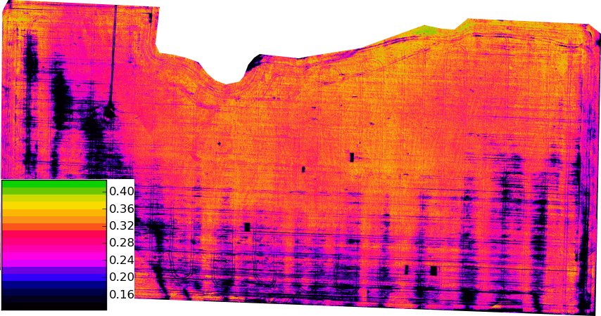
Montana State University combined satellite observations, drone LiDAR and field sampling to map wheat stem sawfly damage, reporting useful pre-harvest predictions in two commercial spring-wheat fields during 2025.
Source Montana State University (publication day unspecified; checked 24 October 2026)
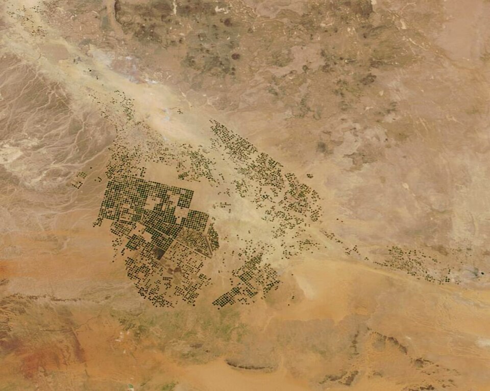
Two open-source models from NASA Harvest and Agmatix interpret vegetation-index time series to estimate current crop stages and separate successive growing cycles, supporting satellite-based agricultural monitoring across different crops.
Source NASA Harvest
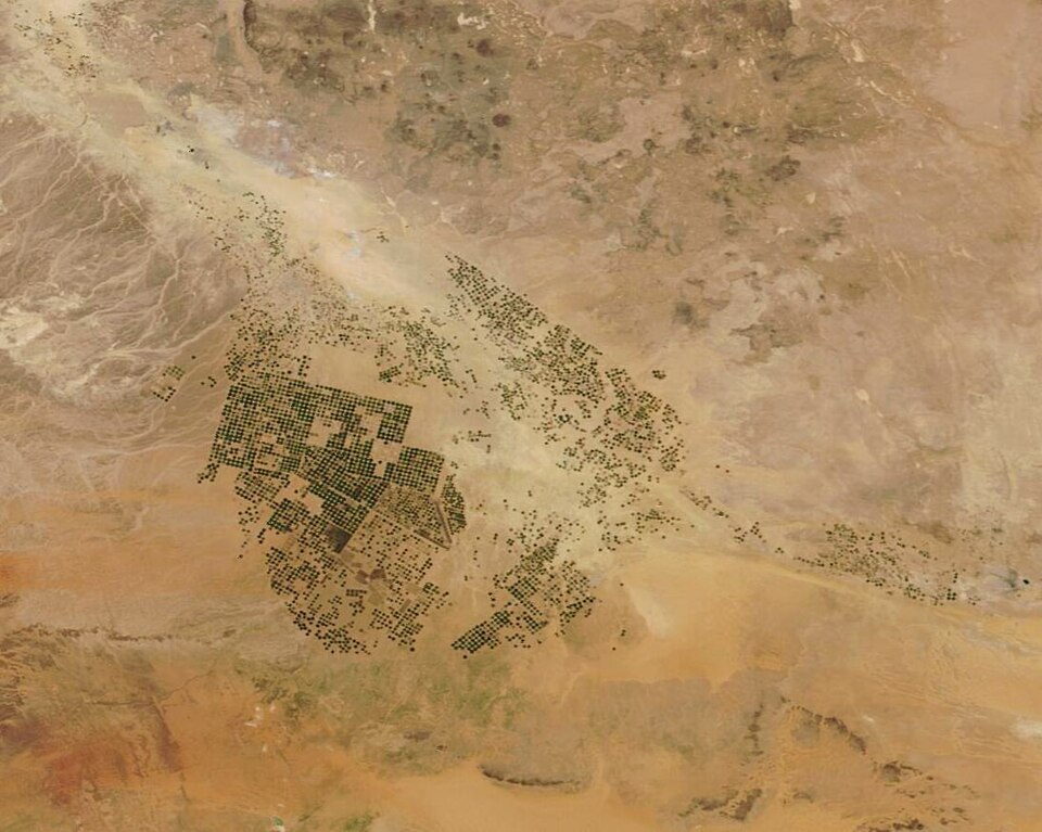
The European Commission’s Joint Research Centre has introduced an approach using Sentinel-2 imagery to distinguish crop types in monitoring, with initial maize results included in its September 2026 MARS Bulletin.
Source European Commission Joint Research Centre
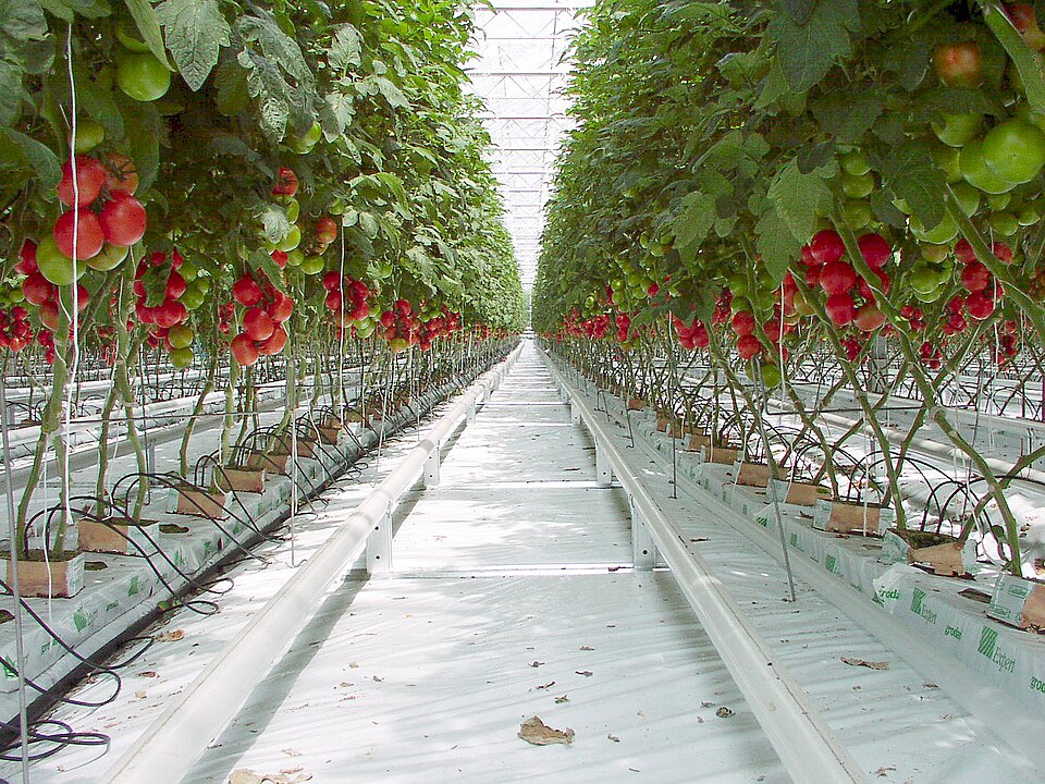
Cornell is testing genetically engineered tomato sentinel plants whose colour changes under nitrogen deprivation, examining whether a living sensor can provide useful nutrient information under variable field conditions for growers.
Source Cornell University
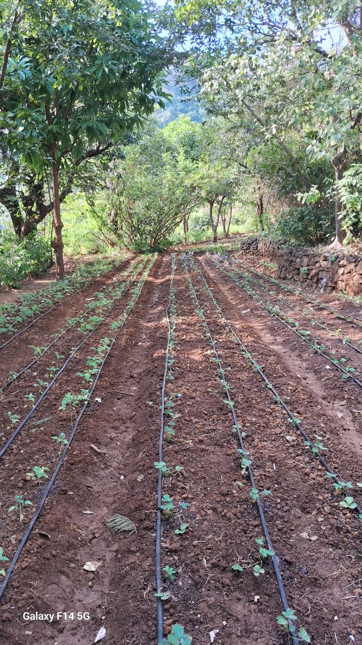
An MIT project profiled in March 2023 combined satellite observations, weather data and machine learning to investigate plant responses to drought, with more detailed forecasting tools as a research goal.
Source MIT News
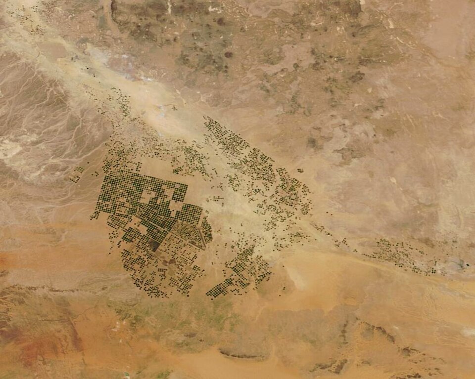
ESA and the WorldCereal consortium presented global crop products in an April 2023 webinar, showing how Sentinel and Landsat observations support seasonal crop-type mapping and an interactive viewer.
Source ESA WorldCereal (undated page)
NASA, IBM and Forschungszentrum Jülich released an expanded open-source geospatial foundation model in December 2024, supporting applications such as crop classification, cloud-gap reconstruction and land monitoring.
Source NASA Science
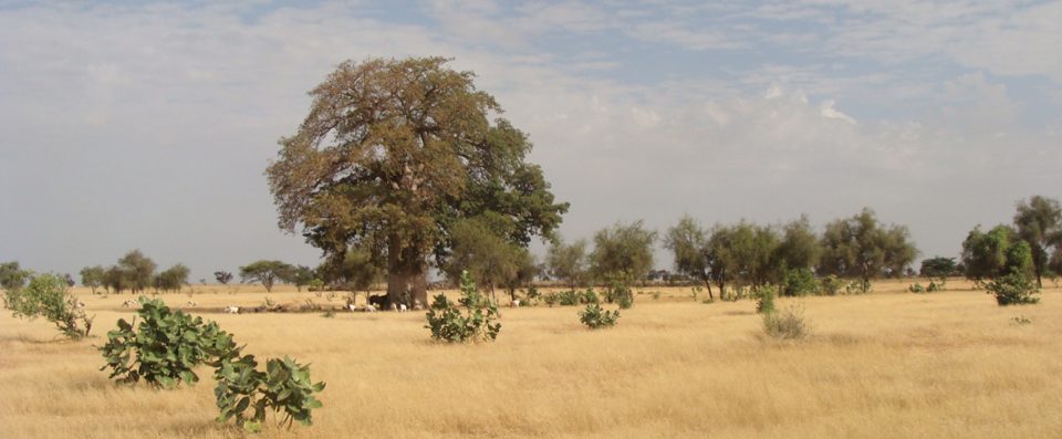
The CaSSECs collaboration examined drones as an intermediate observation scale between ground measurements and Sentinel-2 imagery, seeking better estimates of dry forage biomass across heterogeneous Senegalese landscapes.
Source CIRAD
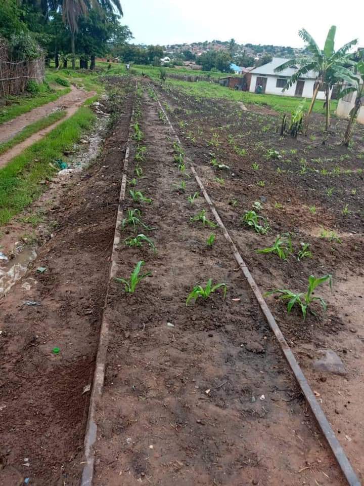
A Ghana–Belgium partnership is developing locally grounded maize-yield estimation while addressing the field-data mismatches that can undermine satellite models.
Source GEOGLAM
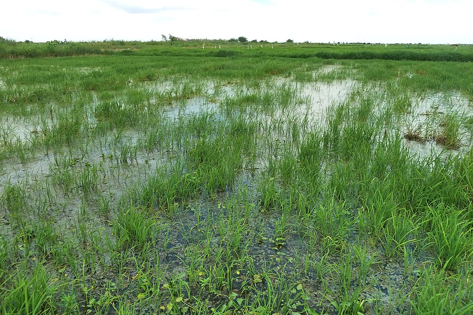
An Earth-observation demonstrator for RICOWAS is being designed around geolocated farm records and the realities of a West African adaptation programme.
Source ESA Global Development Assistance