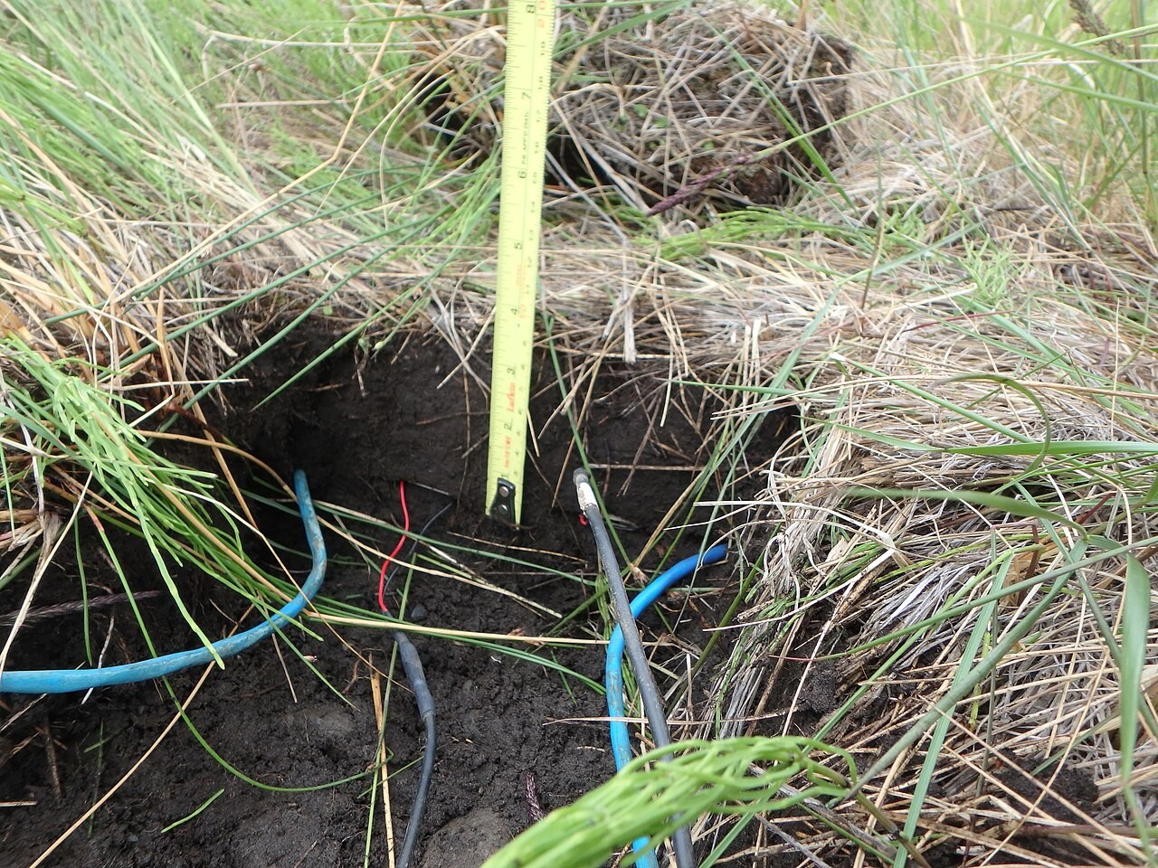
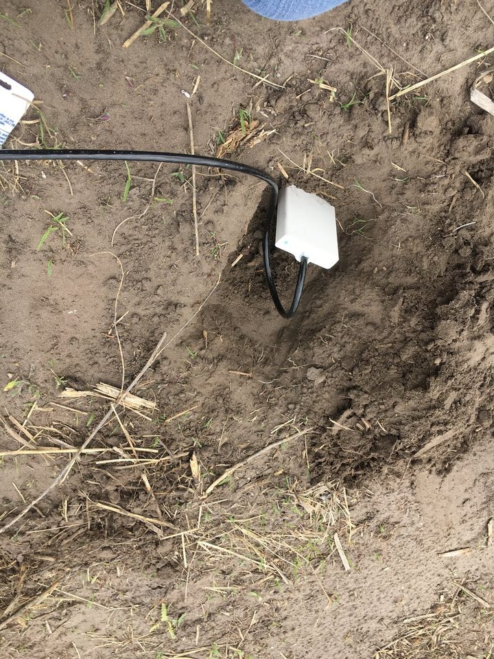
Researchers at Unicamp and Embrapa Digital Agriculture examined how different sensors contribute to soil mapping across 375 hectares in São Paulo state. The study combined measurements taken near the soil, laboratory spectroscopy and Sentinel-2 imagery, then evaluated predictions of texture, organic carbon and a soil chemical-quality index.
Visible and near-infrared spectroscopy complemented portable X-ray fluorescence, while some satellite bands and electromagnetic measurements provided overlapping information. Models using selected complementary inputs performed comparably to fuller combinations. Where spectroscopy was unavailable, electrical-conductivity measurements combined with selected satellite-derived information offered an alternative with lower accuracy. Published in Precision Agriculture, the analysis addresses which measurements improve mapping; it does not establish a universal sensor package or demonstrate changes in farm yields.