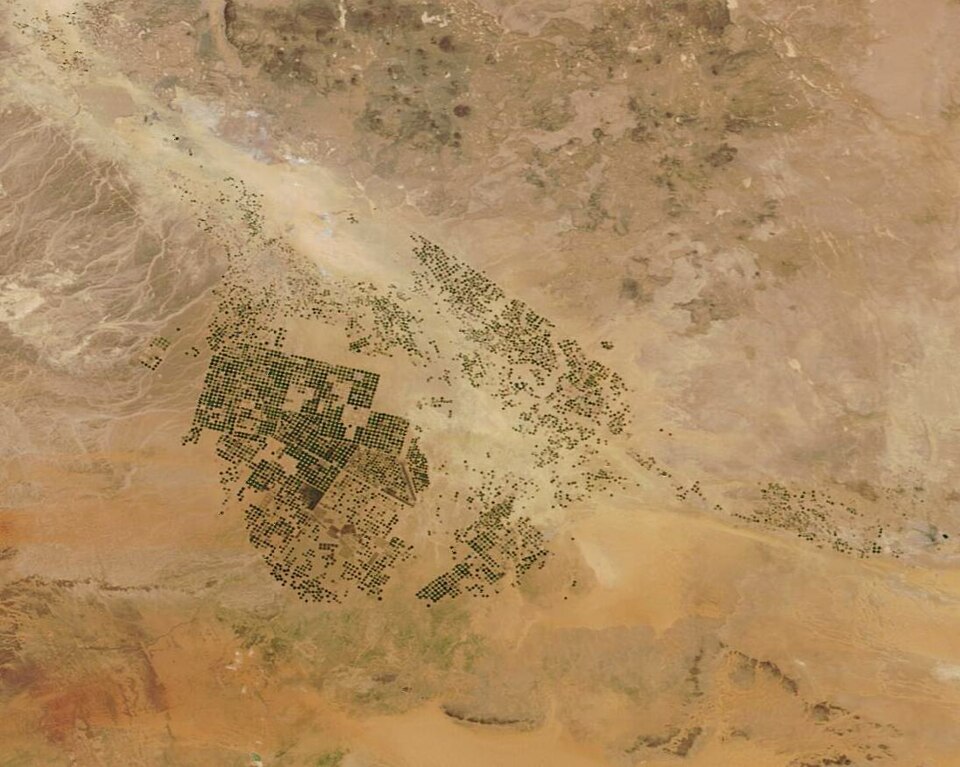
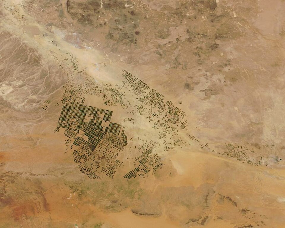
The European Space Agency and WorldCereal consortium held a public webinar on 20 April 2023 to introduce their crop-mapping products and system. The release included global, seasonally organized maps of temporary crops and selected crop types, including maize and cereals.
The products combine information from Copernicus Sentinel-1 and Sentinel-2 satellites with NASA Landsat observations. The presentation covered harmonizing field-reference data, methods, validation and the interactive WorldCereal viewer, with a recording linked from the project page. This is a historical product-release story; its map products and methodology should be read with their documented reference years and crop coverage.
Date note: The source does not give a verified publication day. The displayed source date records our check on 22 October 2026, not the original publication date.