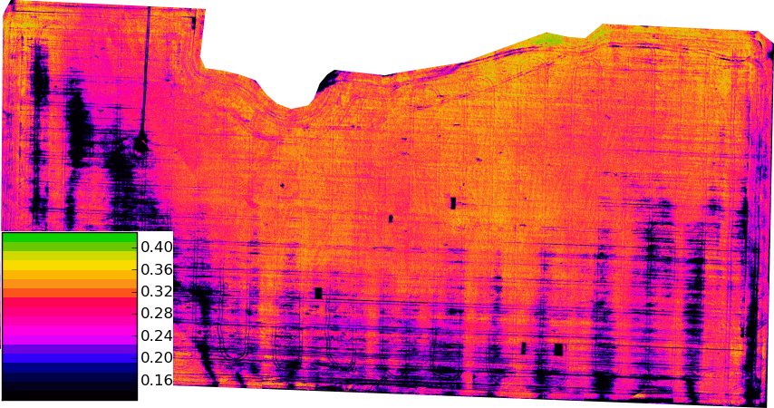
A Montana State University study combined Sentinel-1 radar, optical imagery, drone LiDAR and stem dissections to assess wheat stem sawfly damage. The 2025 field work covered two dryland spring-wheat fields in Hill and Chouteau counties. Researchers sought structural signals of weakened stems that ordinary crop-greenness measurements can miss.
The September 2026 newsletter reported about 80% prediction accuracy and damage patterns detectable roughly two weeks before harvest. Maps could help prioritise scouting, selective swathing or future cultivar placement. These results relate to the study’s fields and season; the team was still developing a usable mapping tool rather than announcing an established operational service.
Publication timing: the source is dated September 2026. Its exact publication day is not stated; this report was checked on 24 October 2026.