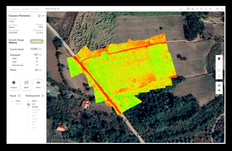
The Ghana Space Science and Technology Institute and Belgium’s VITO describe their GEOMAIZE collaboration in a March report published by GEOGLAM. Supported through ESA’s EO AFRICA research programme, the work combines satellite time series, modelling and locally collected yield data.
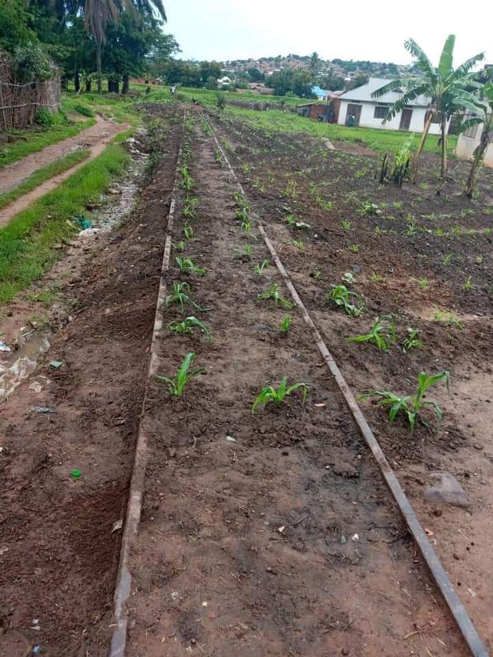
An important lesson concerned ground measurements. Historical sampling records lacked precise coordinates, while six-by-six-metre quadrats did not match Sentinel-2’s ten-metre spatial resolution. The team reports adopting geolocated ten-by-ten-metre sampling areas and stronger metadata practices.
Training has included cloud workflows, WorldCereal and approaches associated with the Presto model. The partners describe progress towards an operational yield-estimation pipeline, rather than a nationally validated forecasting service. Their account emphasises reciprocal field experience and local capacity as well as the algorithm itself.