6 stories matching “Crop mapping”.
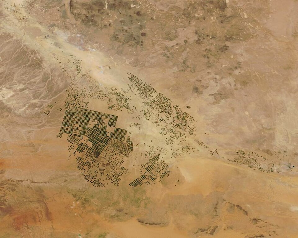
ESA and the WorldCereal consortium presented global crop products in an April 2023 webinar, showing how Sentinel and Landsat observations support seasonal crop-type mapping and an interactive viewer.
Source ESA WorldCereal (undated page)
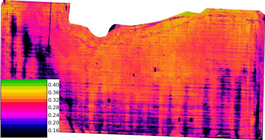
The May 2024 EO for Agriculture Under Pressure workshop brought scientists, agencies and users together in Italy and online to discuss crop monitoring, operational services and integration with field data.
Source FAO (undated page)
NASA, IBM and Forschungszentrum Jülich released an expanded open-source geospatial foundation model in December 2024, supporting applications such as crop classification, cloud-gap reconstruction and land monitoring.
Source NASA Science
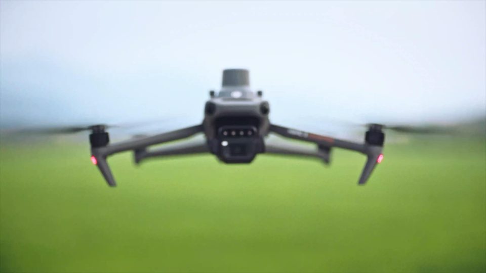
DJI’s November 2022 Mavic 3 Multispectral launch combined a conventional camera, four spectral bands and RTK positioning in a compact aircraft intended for crop scouting and precision-agriculture surveys.
Source DJI
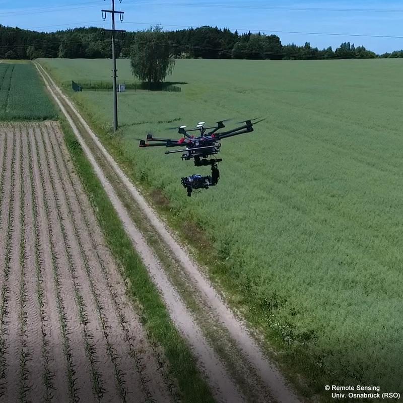
Germany’s Agri-Gaia launch linked machinery data, reusable AI components and legal expertise, with the University of Osnabrück contributing field observations and frameworks for exchanging information across organisations.
Source University of Osnabrück via idw
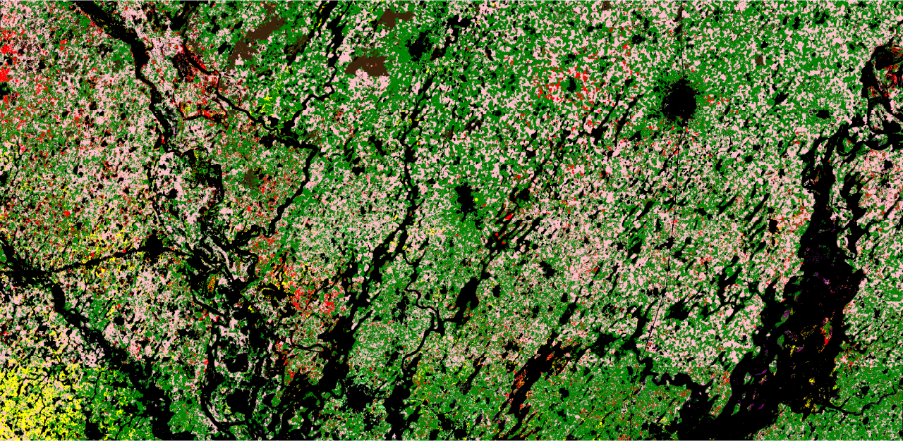
A study reports 84% crop-classification accuracy using an open-source satellite model, while highlighting limitations in ground data and mixed-crop evaluation.
Source University of Cambridge