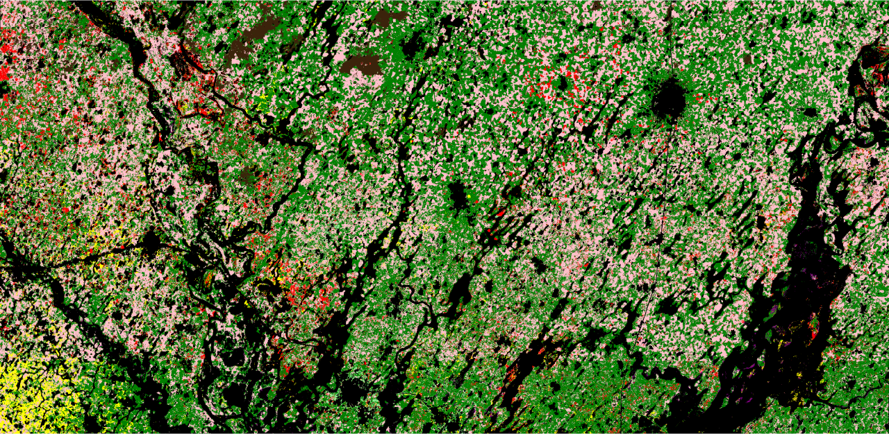
Researchers used the University of Cambridge's Tessera model to classify crops in Senegal's groundnut basin. The university reports that the method achieved 84% accuracy in the study and required fewer computational resources and labelled examples than the comparison approaches.
Tessera condenses a year of satellite observations into numerical representations for each 10-metre location. A classification model then uses these representations to map crops. The study examined 2018, 2019 and 2021, including how models transferred between years.
The researchers reported stronger cross-year performance than the alternatives tested, but accuracy fell between 2018 and 2021, potentially reflecting ground-survey quality. Secondary crops in mixed fields were not evaluated. Published in Environmental Research: Food Systems, the work supports investigation of more accessible crop monitoring, not a claim that every field or season can already be mapped reliably.