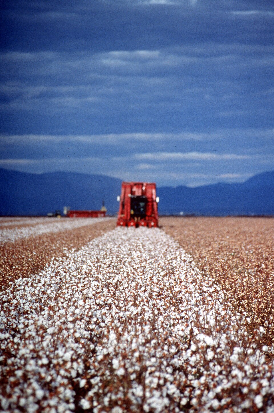
CSIRO uses multispectral, hyperspectral and LiDAR drones to examine cotton traits
Australian cotton researchers are combining aerial sensing methods to distinguish crop performance and disease stress that ordinary photographs can miss.
Source CSIRO
Following the machines, people and ideas shaping agriculture. Selected developments, clear context and a link to the original source.
Robotics. Intelligence. Agriculture.
305 stories matching “Research”.
Australian cotton researchers are combining aerial sensing methods to distinguish crop performance and disease stress that ordinary photographs can miss.
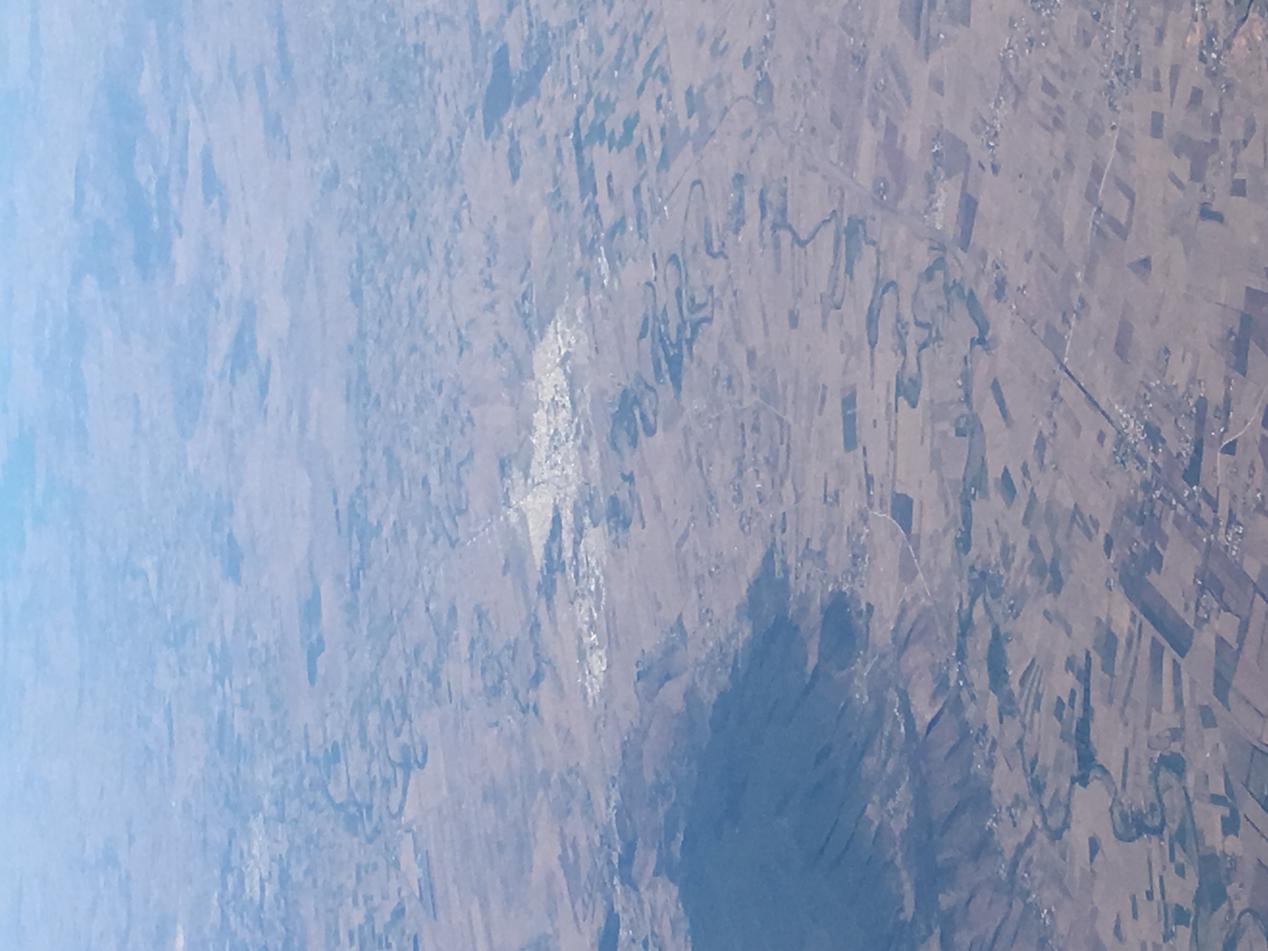
A Jendouba pilot compares daily 10-metre evapotranspiration data with a coarser product, exposing both operational benefits and validation gaps.
Semear Digital is testing irrigation decisions based on crop water stress, with vineyard results in São Paulo and expansion into pineapple production.
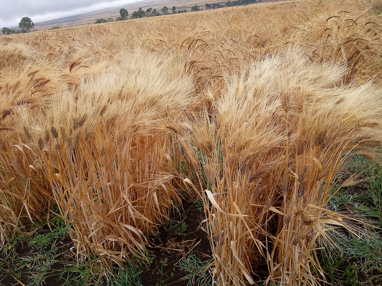
CGIAR reports that the HaFAS advisory system reached 49,000 Ethiopian farmers in 2025, combining field evidence, digital delivery and extension support.
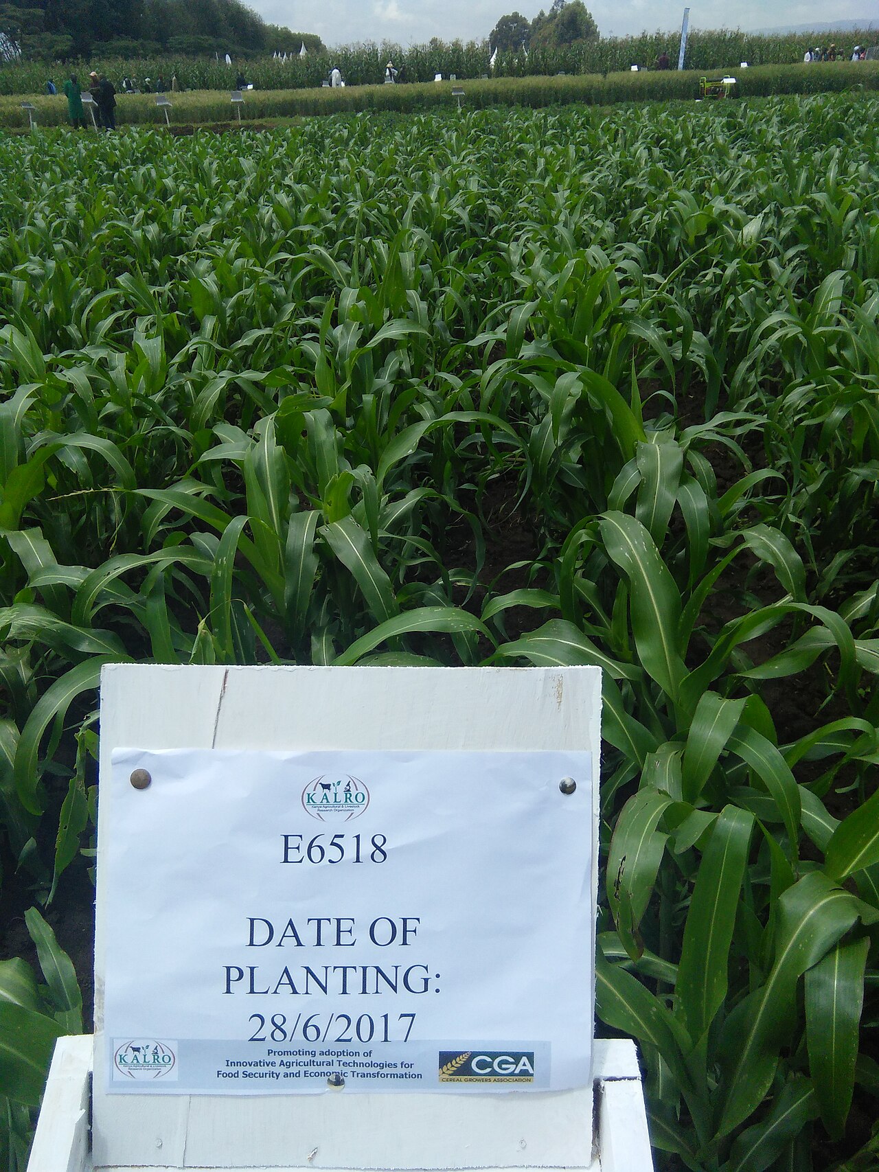
KALRO and CGIAR partners are combining historical trials and machine learning to develop maize nutrient recommendations adapted to local conditions.
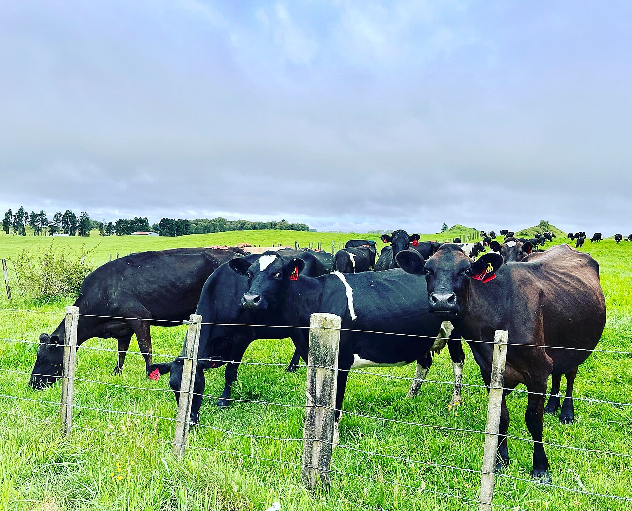
Lincoln University reports lower estimated nitrate losses from a combined management strategy, alongside an eight-percent profit reduction in the trial.
An ICRISAT update describes work under Mission Mausam to connect weather expertise, agronomic data and AI workflows for farmer decision support.
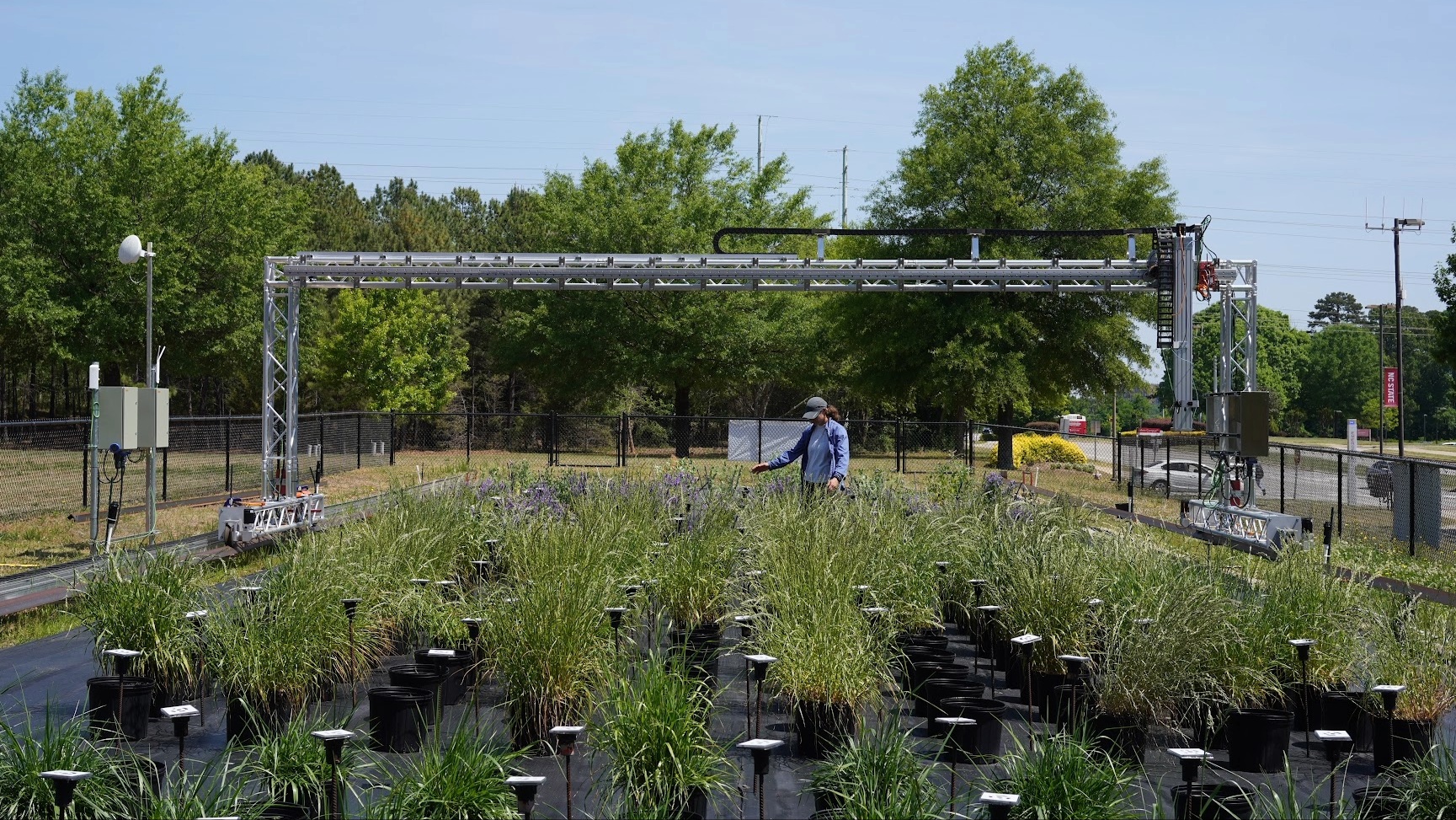
A Cornell-led collaboration will develop robotic orchard operations while examining affordability and adoption, supported by a new USDA Specialty Crop Research Initiative award.
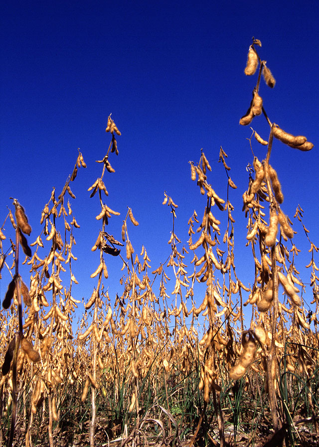
Southern Illinois University researchers are building a mobile imaging and AI workflow for soybean disease monitoring after aerial cameras missed important views beneath leaves.
USDA’s Digital Agricultural Systems Hub combines crop imagery, machine-learning resources and deployable cameras to help move agricultural computer vision from research into practical field tools.
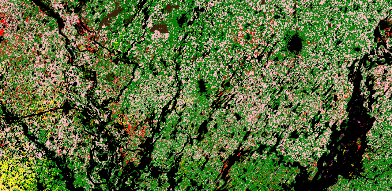
A study reports 84% crop-classification accuracy using an open-source satellite model, while highlighting limitations in ground data and mixed-crop evaluation.
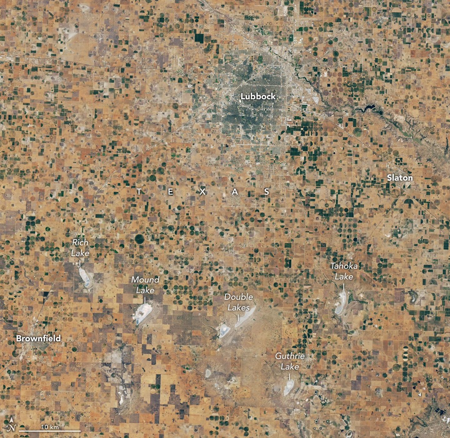
NASA’s October report links Landsat observations, farmer experience and recent lake-monitoring research to urgent irrigation and land-management decisions in the Texas High Plains.