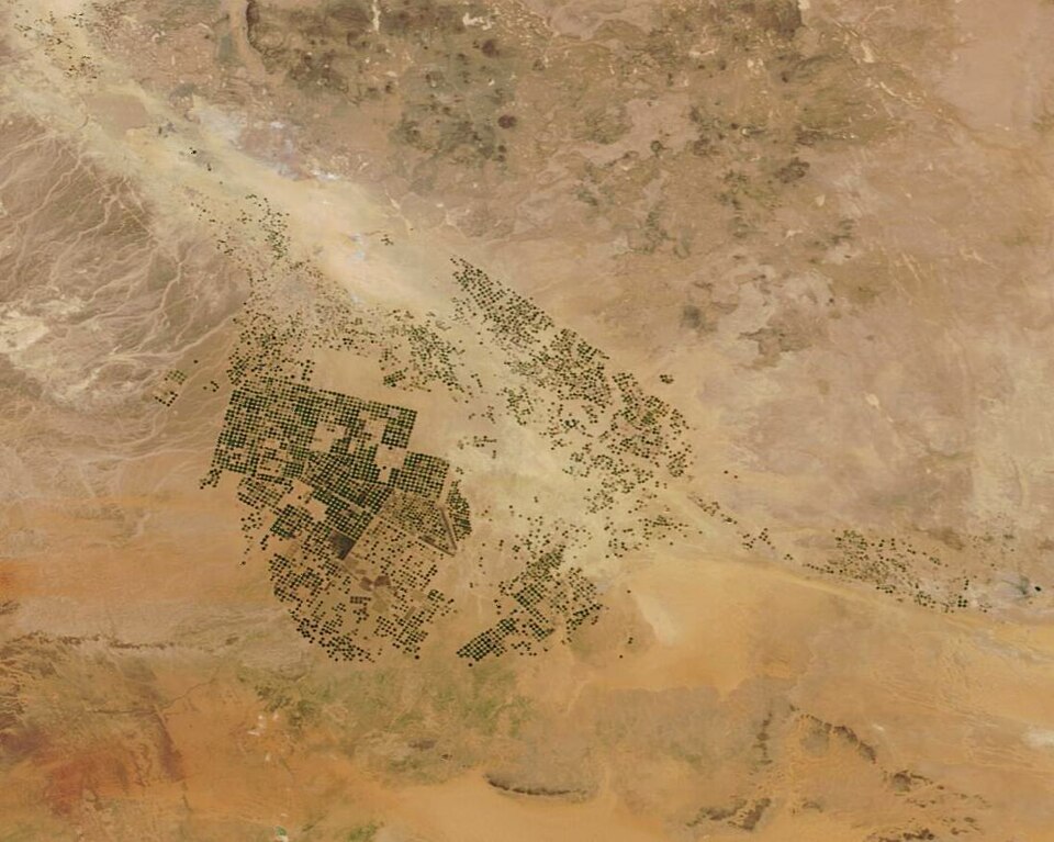
A University of Washington team investigated whether the SWOT satellite can observe irrigation canals that are often narrower than conventional satellite targets. Researchers combined radar observations with their GRAIN canal map and evaluated approximately 800,000 kilometres of canals across 22 Asian countries. They also checked the method against measurements from canals in the United States.
The study found varying measurement quality across the network, with vegetation and canal characteristics affecting performance. Water-level observations can help indicate flow direction and reveal how supplies move through irrigation systems. The work remains a research demonstration: the team is developing practical tools, and satellite passes provide periodic observations rather than continuous monitoring or direct measurements of every canal's discharge.