Senegal–European research uses drones to connect pasture samples and satellite maps
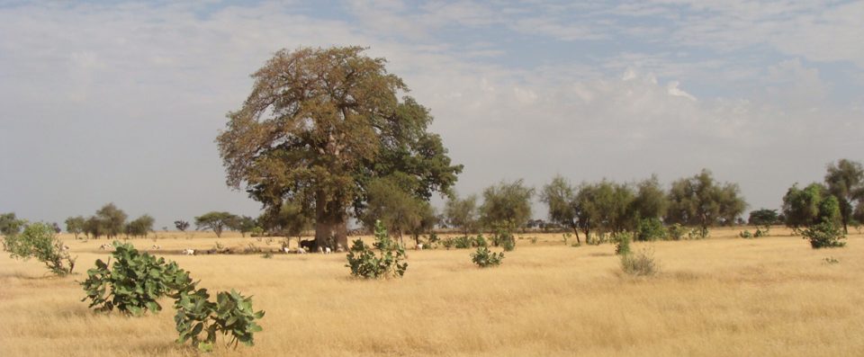
The CaSSECs collaboration examined drones as an intermediate observation scale between ground measurements and Sentinel-2 imagery, seeking better estimates of dry forage biomass across heterogeneous Senegalese landscapes.
Source CIRAD