3 stories matching “Drone mapping”.
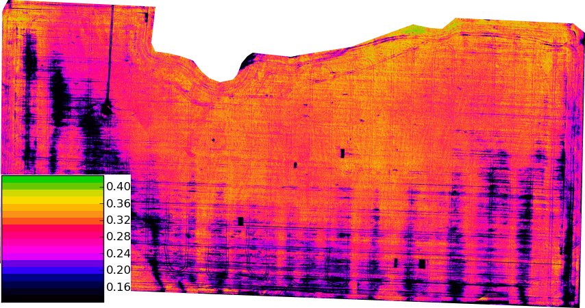
A Montana State University demonstration used overlapping drone photographs to estimate wheat height, showing a low-cost scouting approach while highlighting edge errors and the need to check maps in the field.
Source Montana State University (publication day unspecified; checked 24 October 2026)
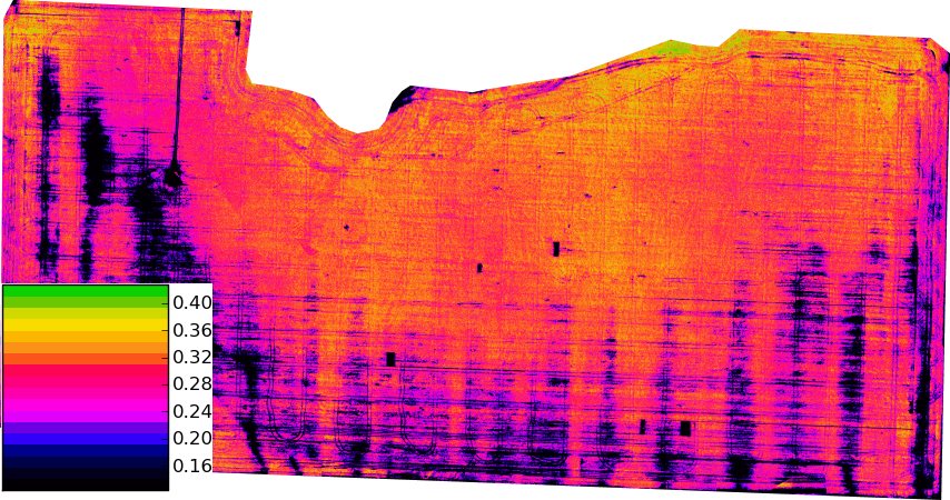
Southern Illinois University brought drone mapping and agricultural AI demonstrations to its July field day, showing growers how aerial observations can support scouting and discussion of site-specific crop management practices.
Source Southern Illinois University Carbondale
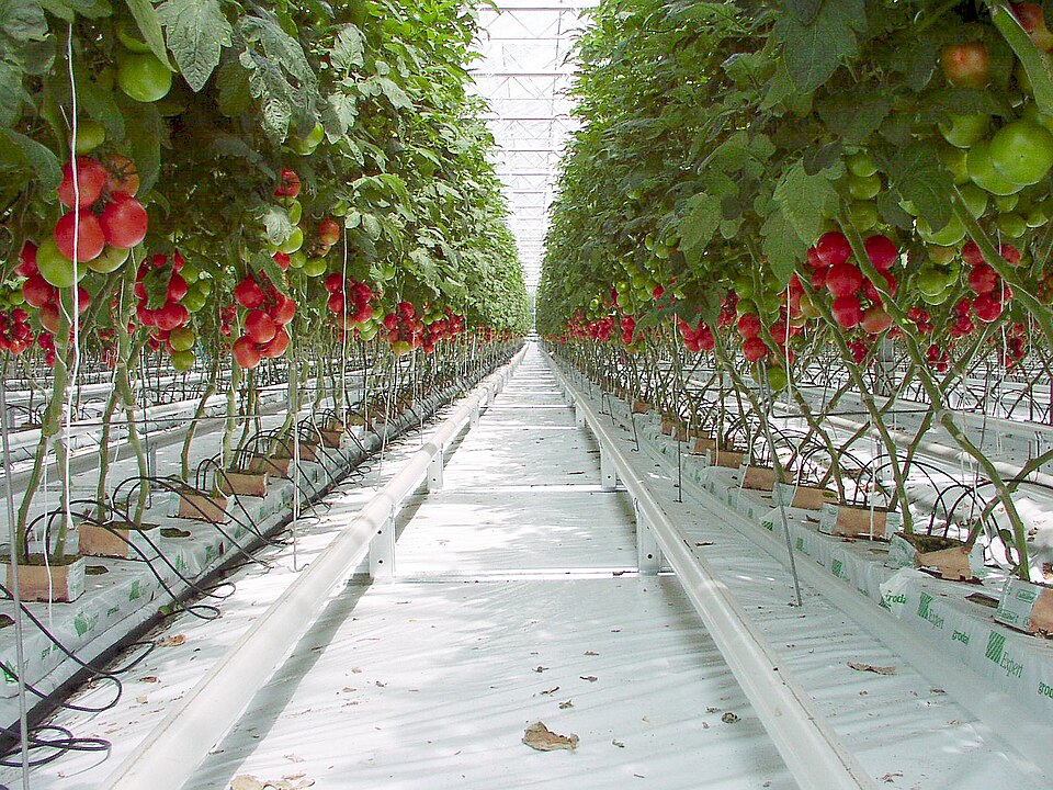
UC Merced has introduced mobile greenhouse and agricultural-technology trailers to bring practical demonstrations of plant production, sensing, drones and automation to schools, communities and agricultural workplaces across the Central Valley.
Source University of California, Merced